About Massachusetts on hearthmap
hearthmap aggregates housing, demographic, school, crime, and environmental data for every county, town, and ZIP code in Massachusetts. Use the interactive map to compare areas side by side, filter by what matters to you, or rank places with a custom match score.
Data is refreshed periodically from public sources including the U.S. Census Bureau, the National Center for Education Statistics, the FBI Uniform Crime Reporting Program, the EPA, Zillow, and Redfin. Source attribution is shown on each metric in the app.
Counties in Massachusetts
14 counties, ranked by population.
County rankings in Massachusetts
Every county in Massachusetts, ranked on one decision metric at a time.
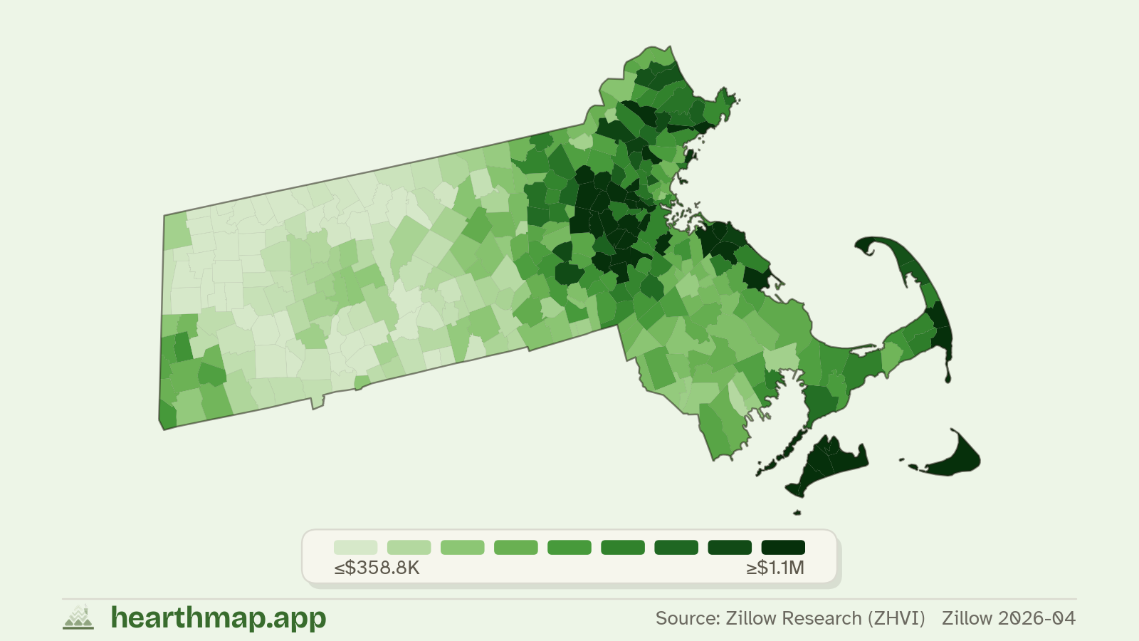
- 01Cheapest home pricesCheapest Counties to Buy a House in Massachusetts
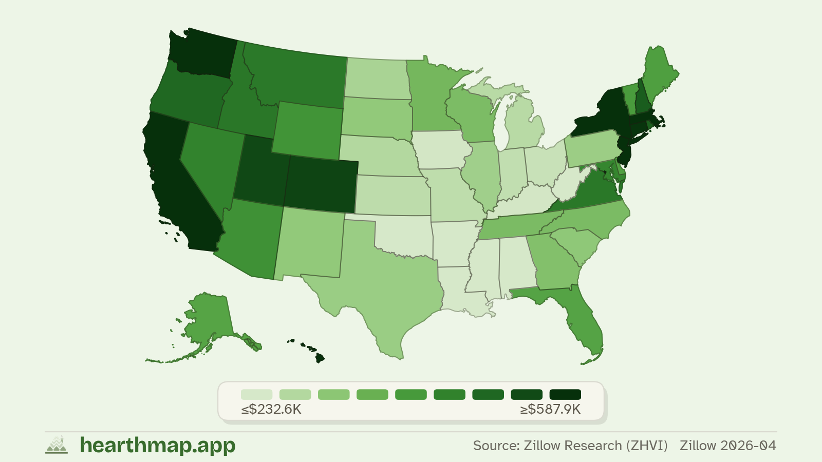
- 02Lowest monthly housing paymentCounties With the Lowest Monthly Housing Payment in Massachusetts
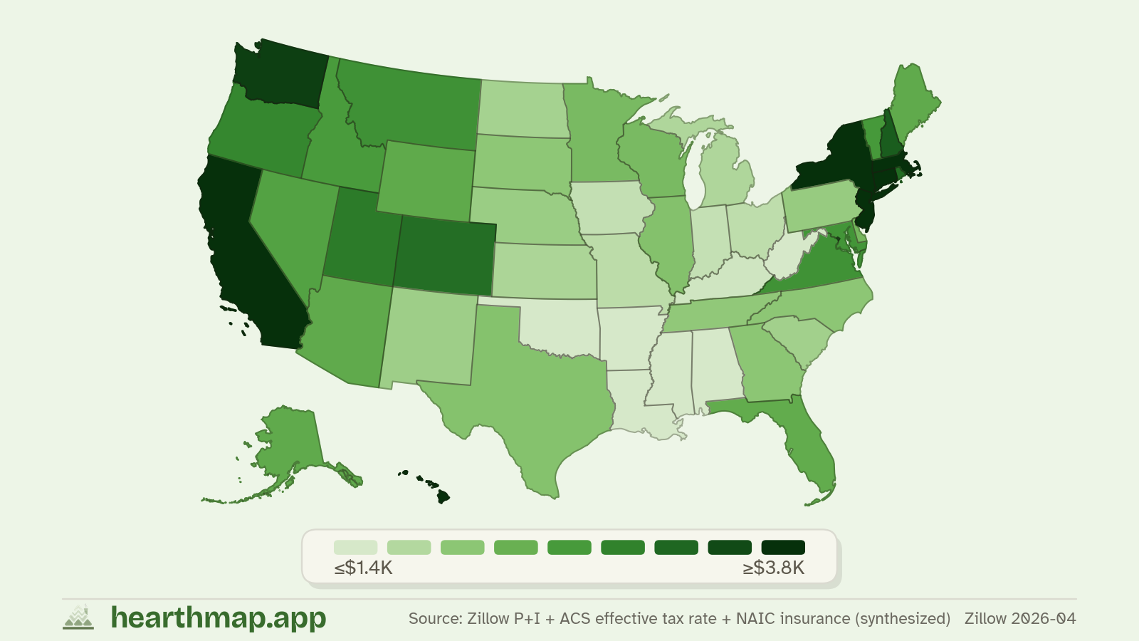
- 03Lowest property taxLowest Property Taxes in Massachusetts by County
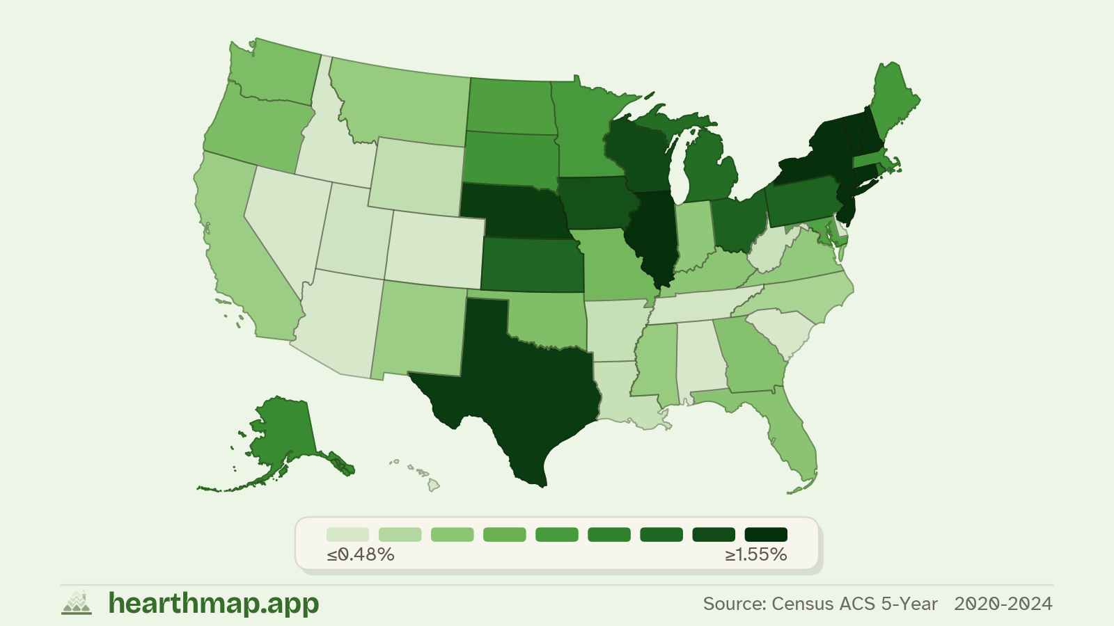
- 04Cheapest homeowners insuranceCounties With the Cheapest Homeowners Insurance in Massachusetts
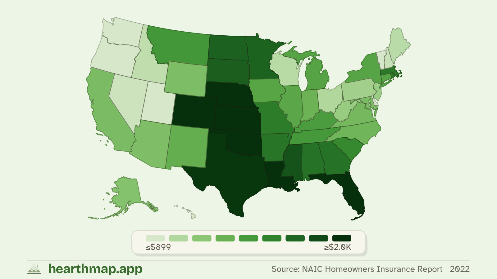
- 05Cheapest childcare costCounties With the Cheapest Childcare in Massachusetts
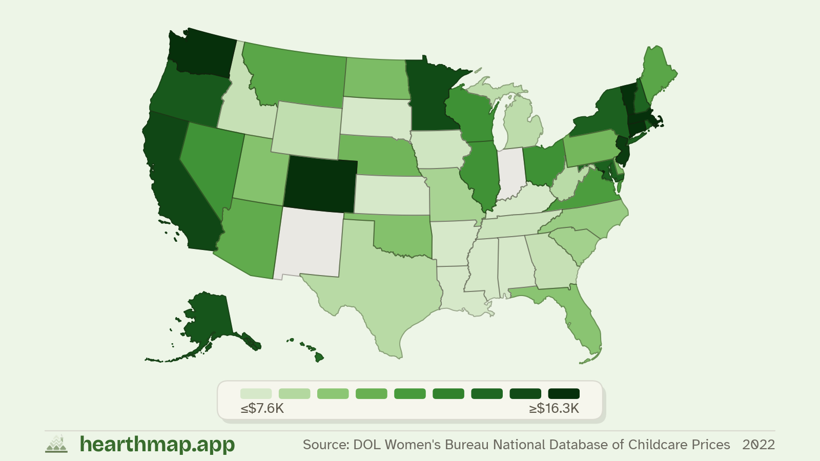
- 06Lowest natural disaster riskLowest Natural Disaster Risk Counties in Massachusetts
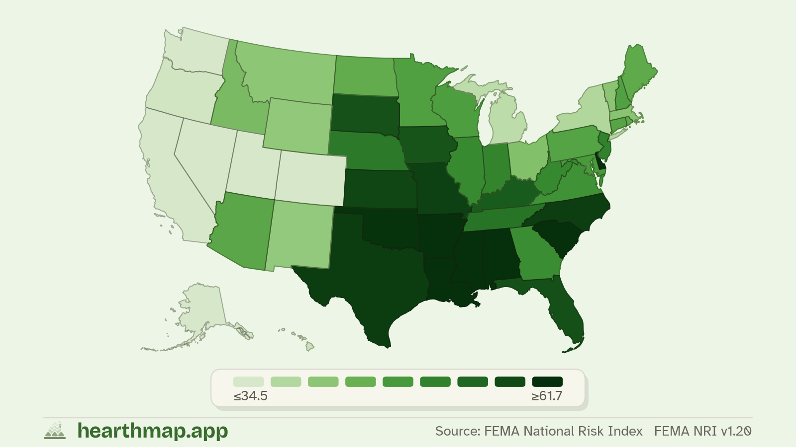
- 07Lowest flood riskLowest Flood Risk Counties in Massachusetts
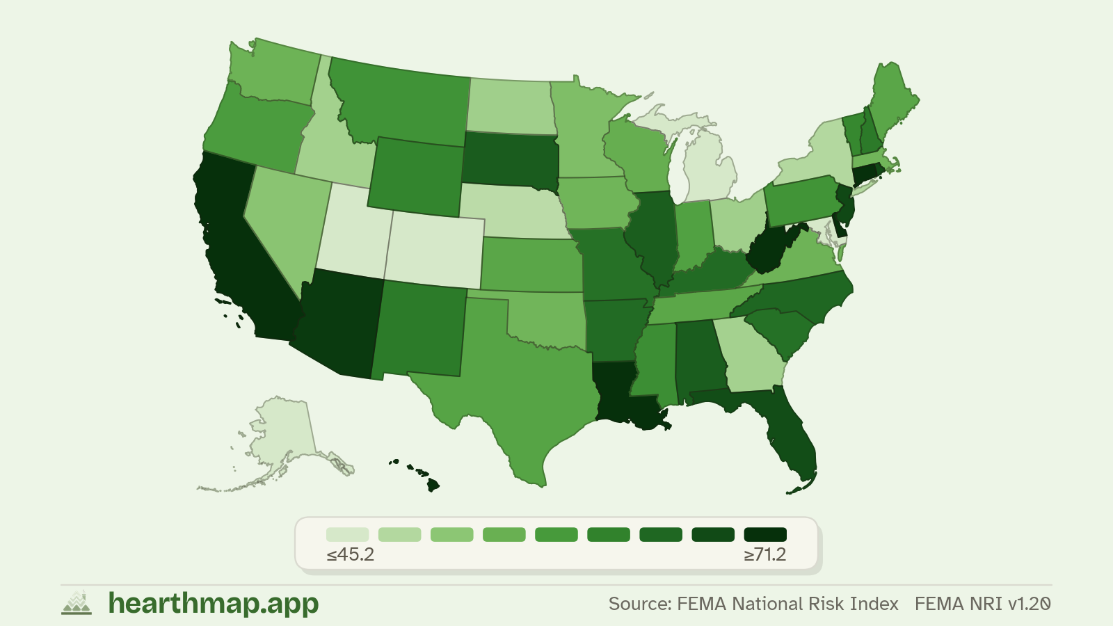
- 08Lowest wildfire riskLowest Wildfire Risk Counties in Massachusetts
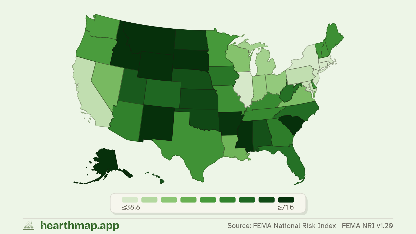
- 09Safest countiesSafest Counties (Lowest Violent Crime) in Massachusetts
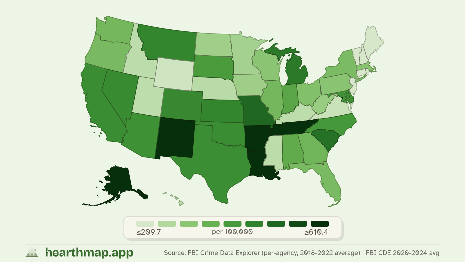
- 10Best school ratingsMassachusetts School Rankings by County
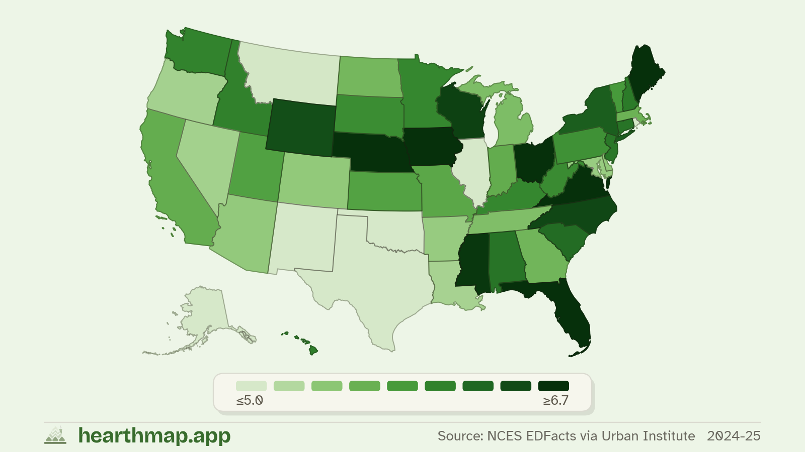
- 11Highest household incomeCounties With the Highest Household Income in Massachusetts
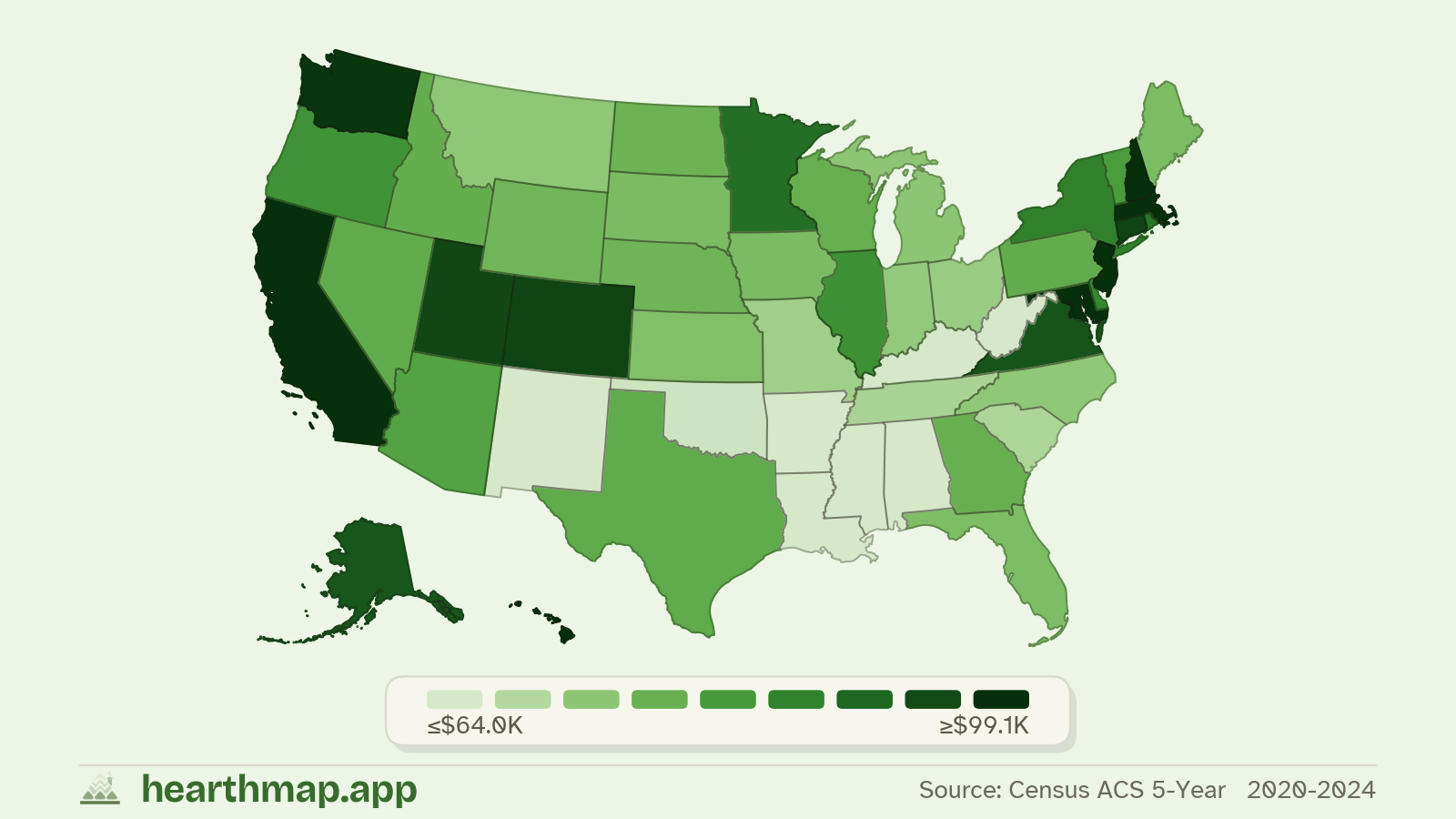
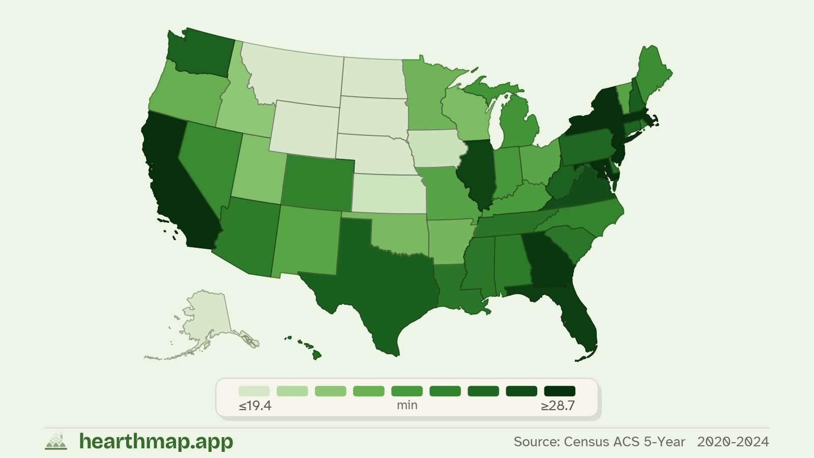
- 12Shortest commute timeCounties With the Shortest Commute in Massachusetts
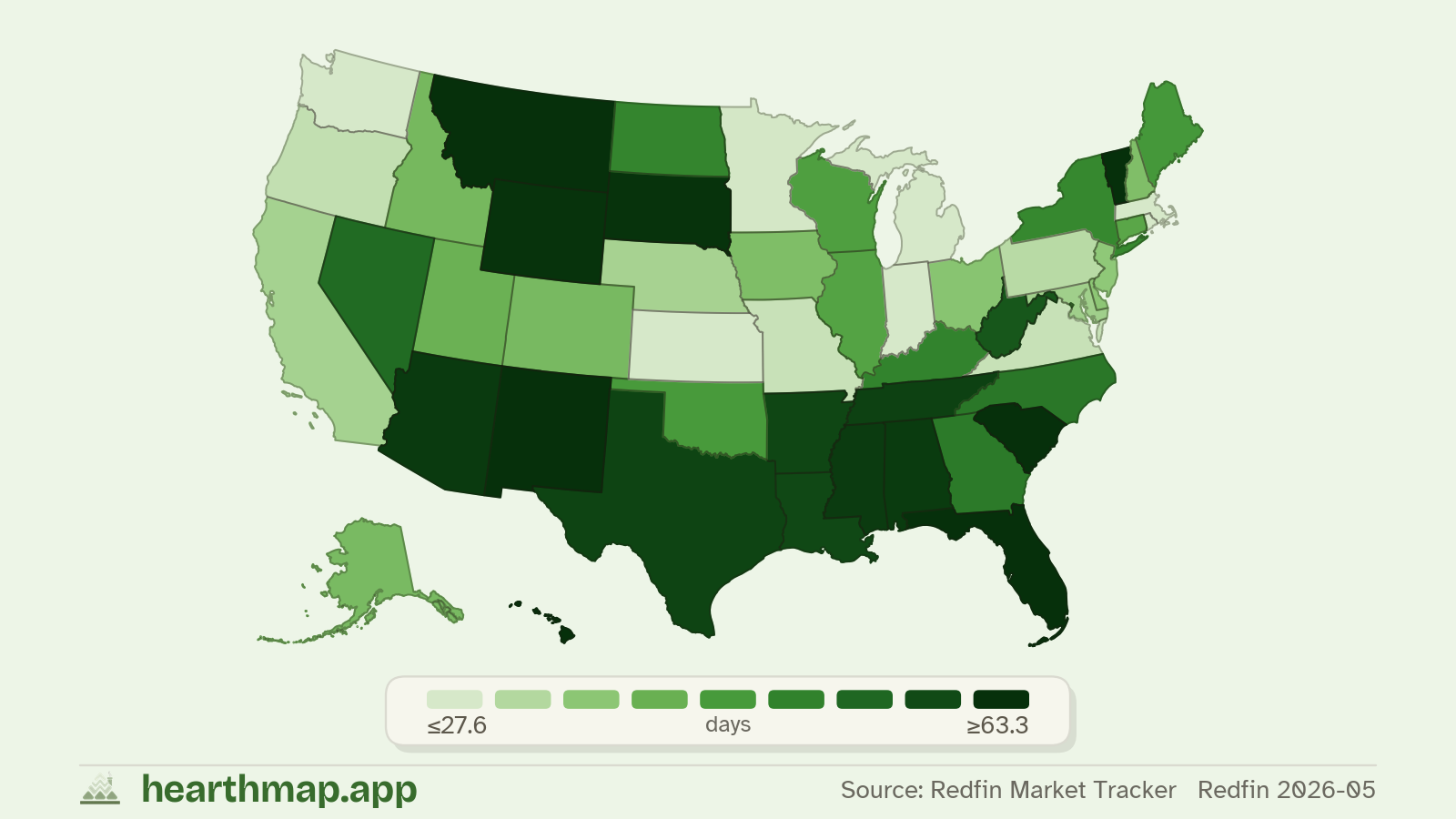
- 13Fastest-selling homesCounties Where Homes Sell Fastest in Massachusetts
Massachusetts at a glance: frequently asked questions
- What is the population of Massachusetts?
- Massachusetts has a population of 7,044,056 based on the most recent US Census estimate.
- What is the median home price in Massachusetts?
- The median home value in Massachusetts is $676,488. Hover any county on the map for that county's value, or open Compare to put two states side by side.
- What is the median household income in Massachusetts?
- Median household income in Massachusetts is $103,960 per year, sourced from the US Census American Community Survey.
- How many counties are in Massachusetts?
- Massachusetts has 14 counties. Each county page on hearthmap shows housing, school, crime, and demographic data town by town.
- What is the average commute time in Massachusetts?
- The average one-way commute in Massachusetts is 29.1 minutes, based on US Census ACS journey-to-work data.
Compare Massachusetts with other places
Put up to four states, counties, towns, or ZIPs side by side on income, housing, crime, education, and more.