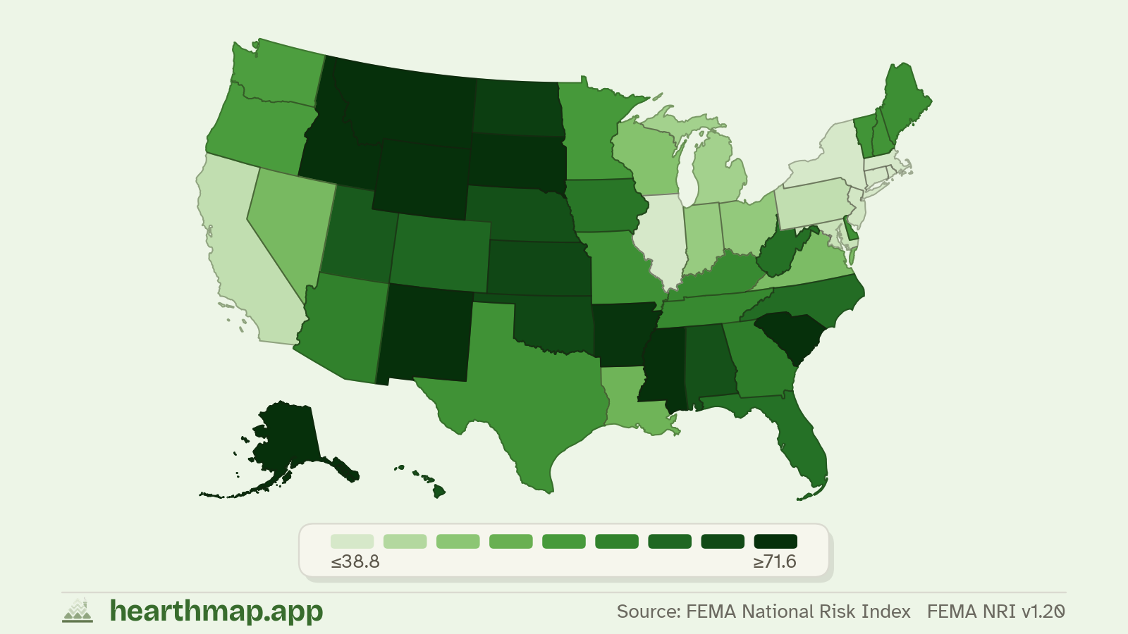
Lowest counties for wildfire risk in Alabama
Top 25 of 67 counties with data.
Ranked by wildfire risk (FEMA National Risk Index, FEMA NRI v1.20), lowest first.
Lowest counties for wildfire risk in Alabama
| Rank | County | Value |
|---|---|---|
| 01 | Montgomery45.1 County page | |
| 02 | Madison47.8 County page | |
| 03 | Lauderdale50.7 County page | |
| 04 | Tuscaloosa51.8 County page | |
| 05 | Colbert56.0 County page | |
| 06 | Jefferson56.4 County page | |
| 07 | Morgan57.2 County page | |
| 08 | Limestone58.8 County page | |
| 09 | Dallas60.6 County page | |
| 10 | Autauga62.6 County page | |
| 11 | Russell64.1 County page | |
| 12 | Pike66.3 County page | |
| 13 | Houston66.5 County page | |
| 14 | Greene67.1 County page | |
| 15 | Mobile67.5 County page | |
| 16 | Hale67.5 County page | |
| 17 | Macon68.2 County page | |
| 18 | Franklin68.2 County page | |
| 19 | Butler68.5 County page | |
| 20 | Lee68.8 County page | |
| 21 | Lawrence68.9 County page | |
| 22 | Marengo69.4 County page | |
| 23 | Etowah69.9 County page | |
| 24 | Marion70.4 County page | |
| 25 | Crenshaw70.5 County page | |
How this ranking works
This page ranks Alabama counties by wildfire risk, sorted so the lowest places appear first. Click any county to see its housing, schools, crime, and demographics in detail.
For wildfire risk, a lower value is generally more favorable, so the top of the list is the lowest. Want to weigh wildfire risk against schools, taxes, commute, and more at once? Use the live map to build a custom match.
Data comes from public sources. Source attribution and the exact data vintage are shown above and on the full map of wildfire risk.
Frequently asked questions
- Which county in Alabama has the lowest wildfire risk?
- Montgomery has the lowest wildfire risk in Alabama, at 45.1.
- What is the wildfire risk in Montgomery?
- Montgomery is ranked #1 in Alabama for wildfire risk, at 45.1.
- What are the top counties in Alabama for wildfire risk?
- Montgomery (45.1), then Madison (47.8), and Lauderdale (50.7). The full top 25 is in the table on this page.
- How is this wildfire risk ranking calculated?
- Counties in Alabama are ranked by wildfire risk (FEMA National Risk Index, FEMA NRI v1.20), lowest first. Values describe the county, not an individual property. Source vintage is shown on the page.
- How does Alabama compare to the rest of the US for wildfire risk?
- This list is Alabama only. See the national ranking of the lowest counties for wildfire risk at hearthmap.app/best/lowest-wildfire-risk.
Related
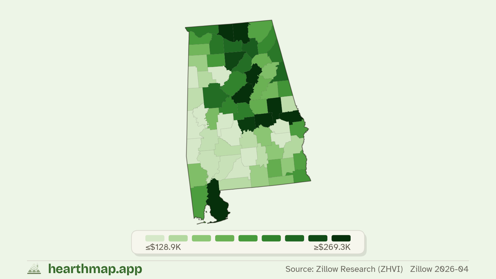
More Alabama county rankings
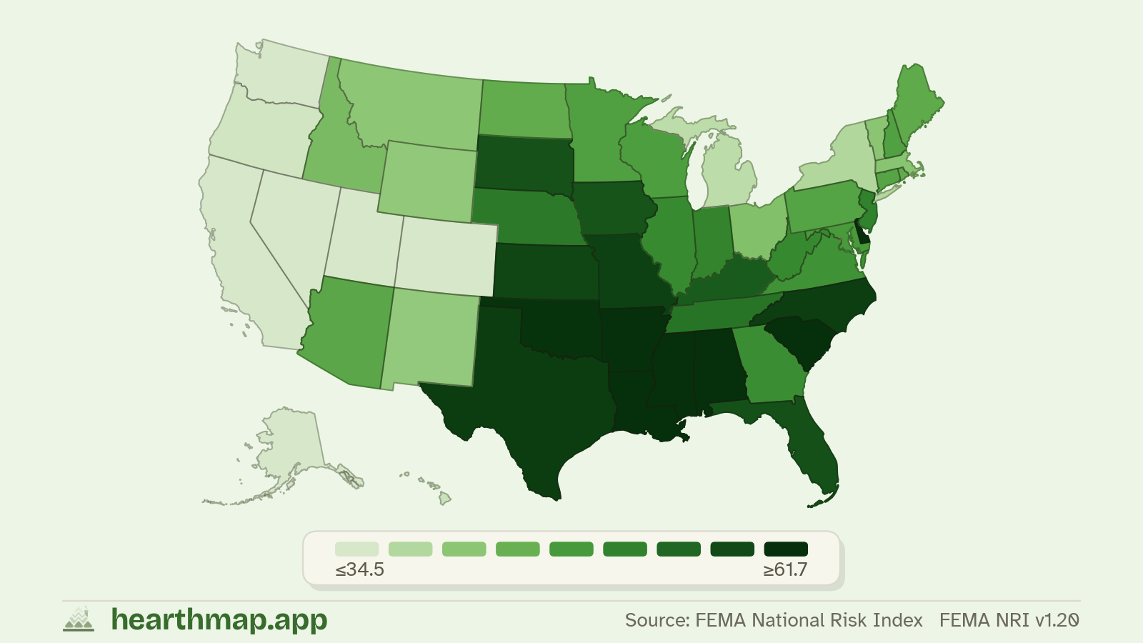
- 01Lowest flood riskLowest Flood Risk Counties in Alabama
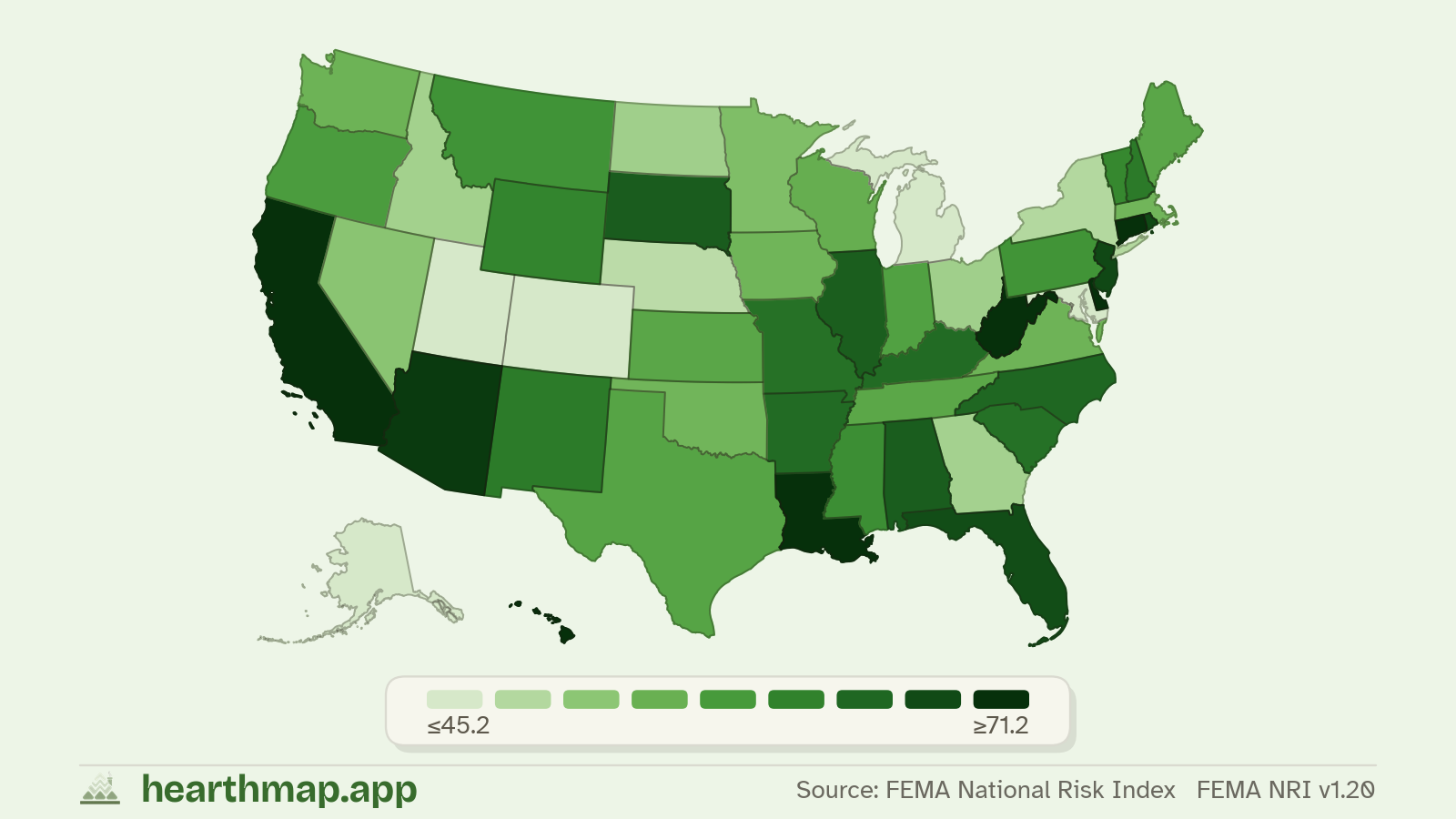
- 02Lowest natural disaster riskLowest Natural Disaster Risk Counties in Alabama
- 03Cheapest home pricesCheapest Counties to Buy a House in Alabama
- 04Lowest monthly housing paymentCounties With the Lowest Monthly Housing Payment in Alabama
- 05Lowest property taxLowest Property Taxes in Alabama by County
- 06Cheapest homeowners insuranceCounties With the Cheapest Homeowners Insurance in Alabama
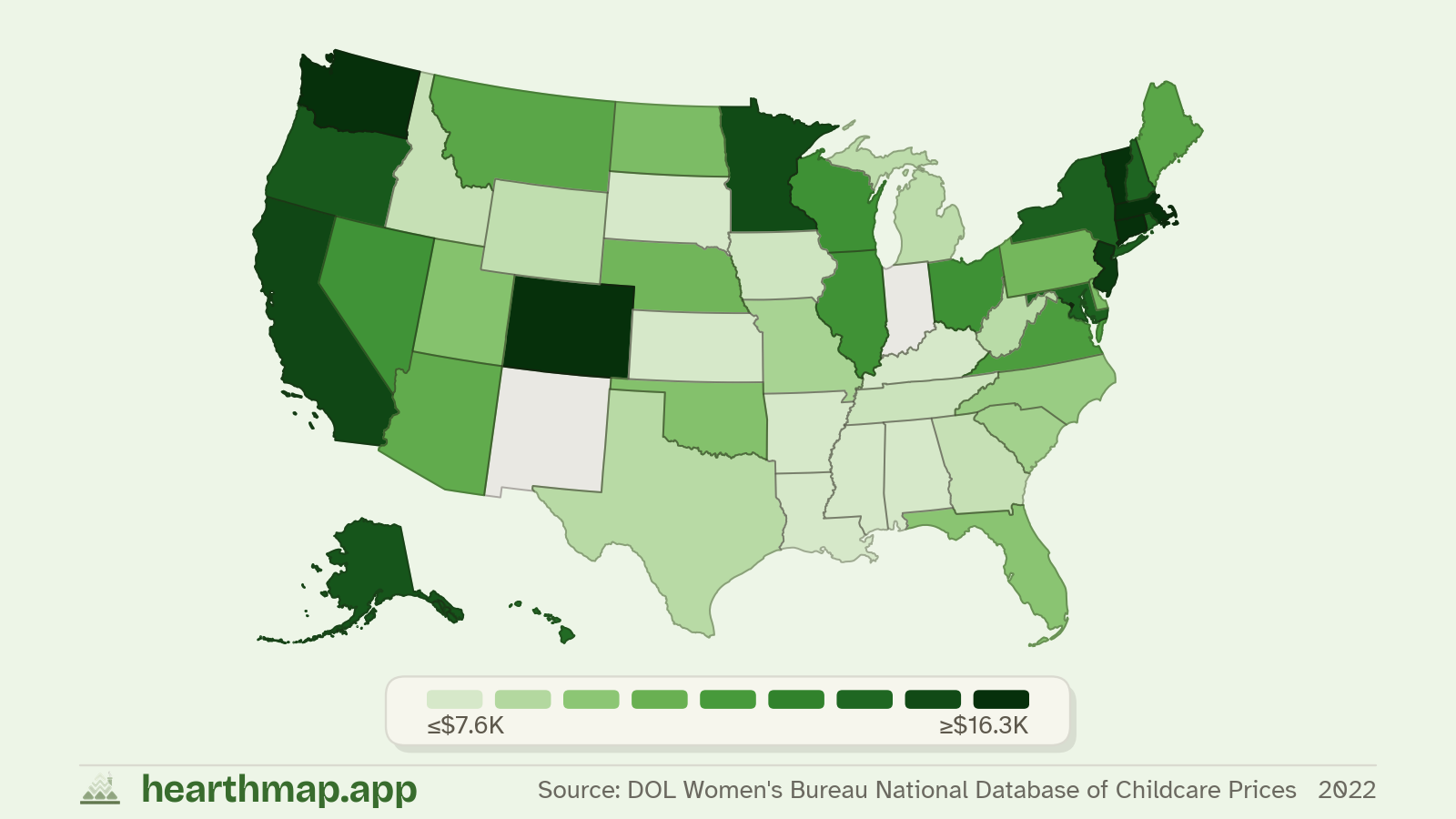
- 07Cheapest childcare costCounties With the Cheapest Childcare in Alabama
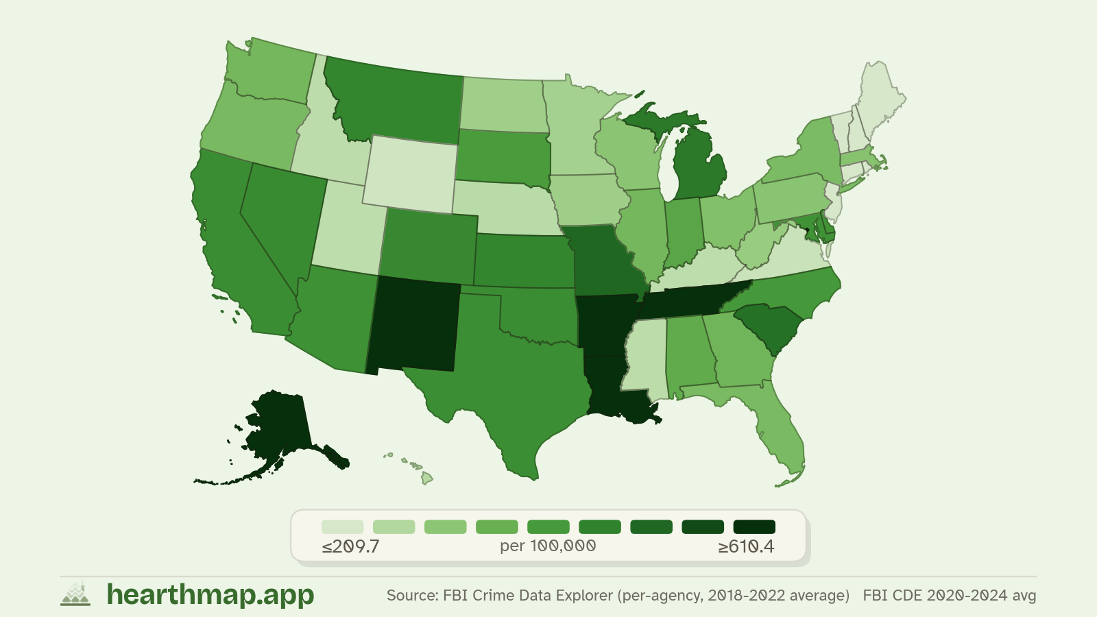
- 08Safest countiesSafest Counties (Lowest Violent Crime) in Alabama
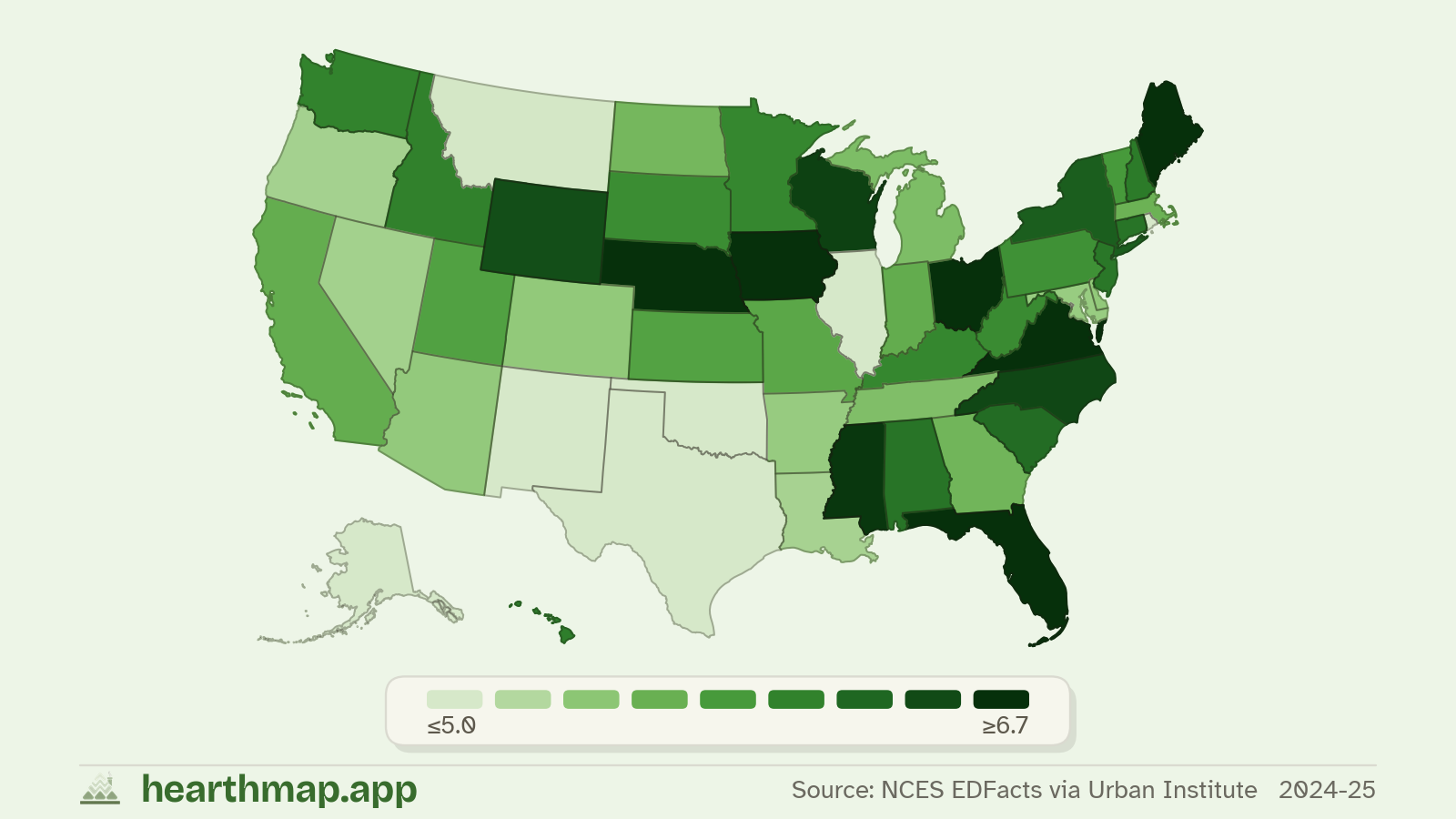
- 09Best school ratingsAlabama School Rankings by County
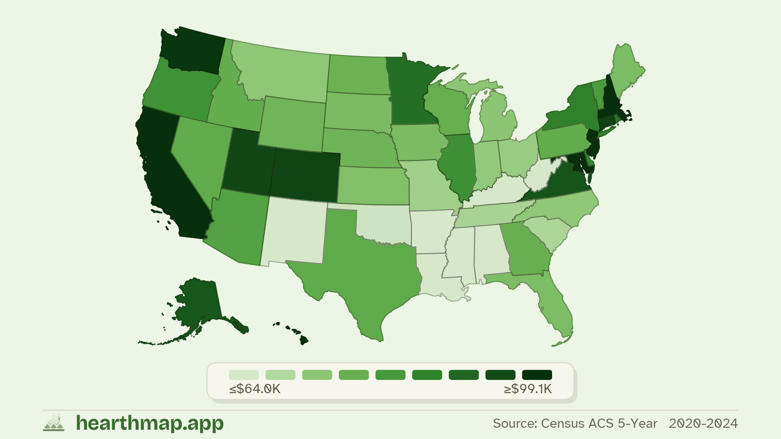
- 10Highest household incomeCounties With the Highest Household Income in Alabama
- 11Shortest commute timeCounties With the Shortest Commute in Alabama
- 12Fastest-selling homesCounties Where Homes Sell Fastest in Alabama
Get the monthly digest
One email a month: fresh rankings, new datasets on the map, and a few interesting county data finds.
No spam, one-click unsubscribe, and we never share your address.